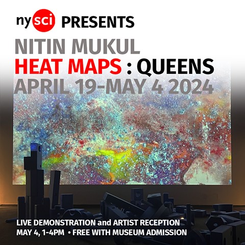
Heat Maps: Queens
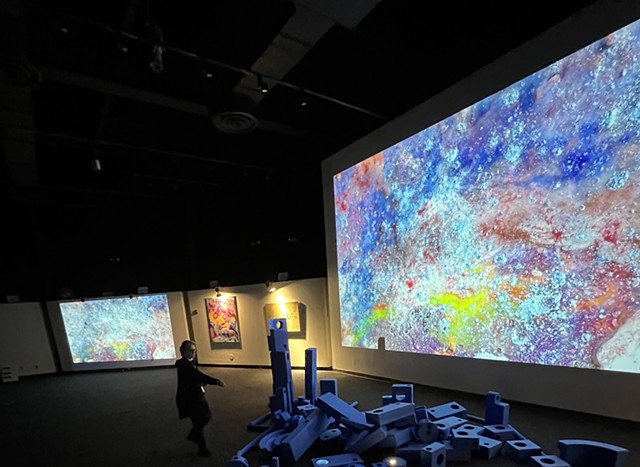
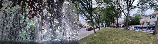
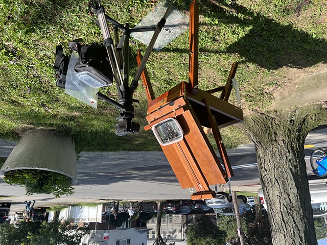
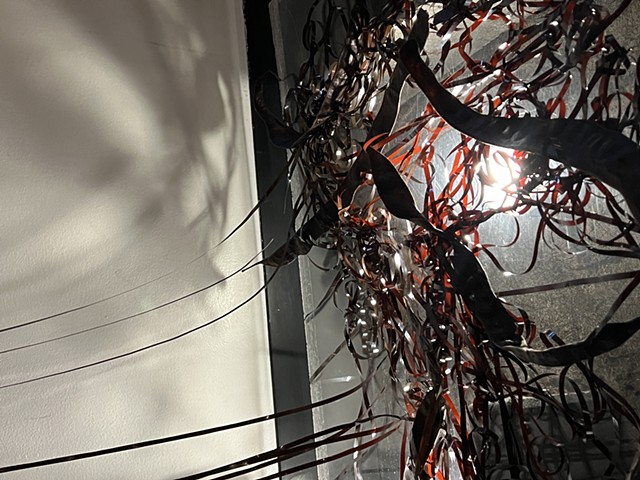
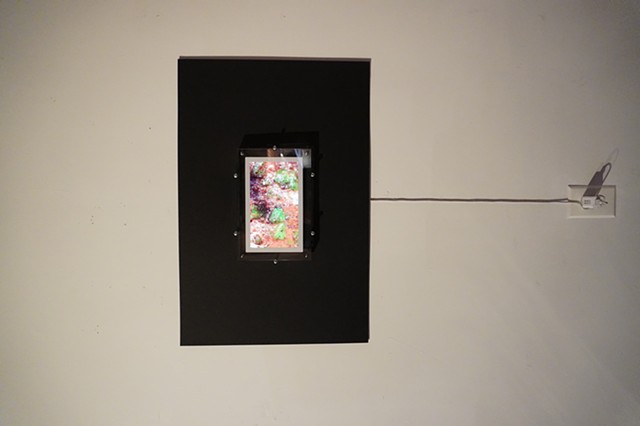
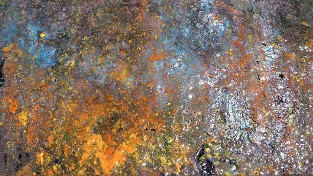
Heat Maps Queens is a new series of durational painting video works. These pieces were made on location in 3 selected localities in the borough of Queens, NYC. In the way that the 19th century school of painters known as the Impressionists which included Monet, Pisarro and others disrupted accepted norms of landscape painting by seeking to depict the atmospheric effects of light while painting outdoors on location, Mukul’s durational painting videos capture the effects of the light, heat, and climate conditions at a specific site and time. Heat Maps Queens incorporate references to hip hop culture, connecting the storytelling of iconic rap artists with origins in these neighborhoods to the realities of these landscapes.
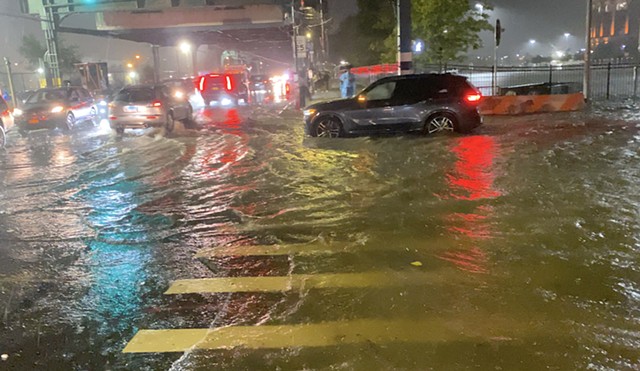
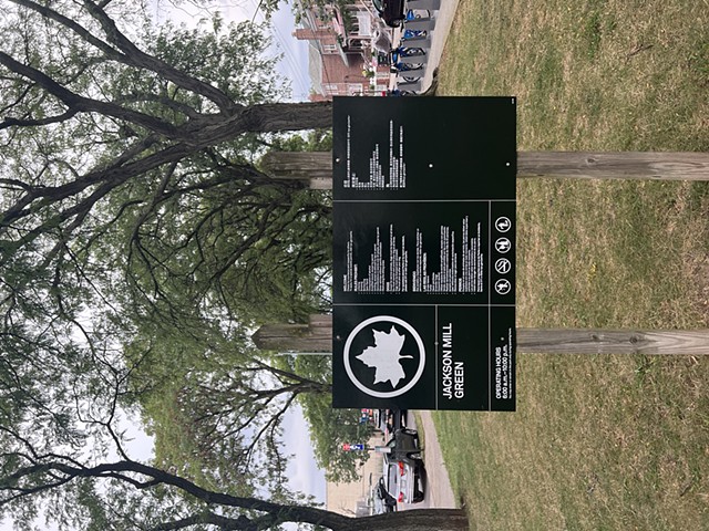
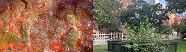
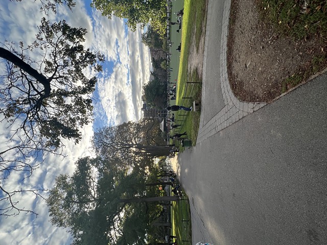
The work raises awareness of the climate crisis on a local level. These pieces serve as documentation of green space inequity in the city by focusing on 3 specific neighborhoods in Queens that have been rated high risk on a scale called the Heat Vulnerability Index (HVI) : East Elmhurst and Corona, Jamaica and Hollis, and Kew Gardens and Richmond Hill. Elmhurst is within walking distance of my residence in Jackson Heights, where the need for more green space and pedestrian friendly space peaked during the pandemic.
“The HVI shows the risk of community-level heat impacts, like deaths, due to extreme heat events. It is made up of data on surface temperature, green space, air conditioning access, poverty, and Black population (the population most excluded from heat resources). Differences in community-level heat impacts stem from structural racism, which limits access to preventive resources.”